Archives -> Windy Hill Open Space Preserve
Windy Hill Open Space Preserve
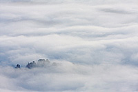
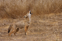
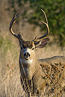
Windy Hill Open Space Preserve is a regional park located just east of busy Palo Alto California. The preserve consists of 1132 acres of protected land. Comprised of both grassland and forested areas, Windy Hill Preserve rises steeply out of Portola Valley, reaching its highest point at the summit of Windy Hill. At 1905ft, on a clear day the summit provides views of the entire San Francisco Bay Area to the north, east, and south, and the Santa Cruz Mountains and Pacific Ocean to the west. Access to the preserve can be by way of Highway 35, or by way of Alpine or Portola Roads in Portola Valley. Windy Hill Open Space Preserve is managed by the Mid-Peninsula Regional Open Space District.