Archives -> John Muir Trail
The John Muir Trail
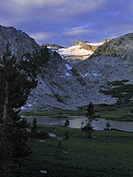
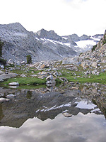
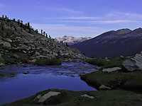
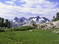
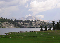
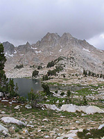
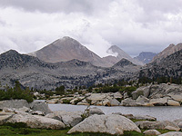
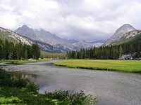
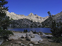
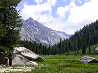
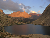
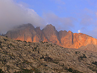
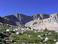
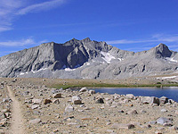
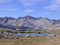
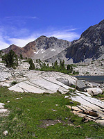
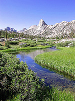
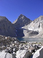
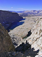
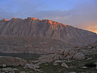
The John Muir Trail is a 211 mile long trail in the Sierra Nevada Mountains of California. Extending from Happy Isles (Yosemite Valley) in the north to the summit of Mount Whitney in the south, the trail passes through what is arguably some of the finest alpine territory in the world. Along its length, the trail passes through 3 National Parks (Yosemite, Kings Canyon and Sequoia), two designated wilderness areas (John Muir Ansel Adams Wilderness), and a national monument (Devil's Postpile).
The trail is often hiked from north to south, the lower altitude and more subtle terrain along the norther stretches of the trail allow hikers to acclimate easier than the alternative direction. Many spend approximately three weeks to hike the trail and, given the time required to hike the distance of the trail, resupply their consumables along the trail: the most popular resupply points being Tuolumne Meadows Post Office, Red's Meadow, Vermillion Resort, and/or the Muir Trail Ranch.
What seems like the largest logistic dilemma is transportation to and from the beginning and end of the trail. The lack of coherent public transportation between the two ends of the trail forces many to hire costly private shuttles, use a combination of public transportation and hitch-hiking, or have a friend of family member provide a shuttle.
Tom Harrison maps provide a very useful packet of shaded topographic maps that cover the length of the John Muir Trail. Alternatively, USGS topographic maps can be collected that cover the trail, however the number of maps that are required to cover the entire trail add up, and can end up being quite cumbersome to carry.
John Muir Trail Map | Gear List | John Muir Trail Trip Report